MED (Drones) Invited Talk - Jordi Corbera - Earth Observation: From Data to Knowledge
26/10/2018
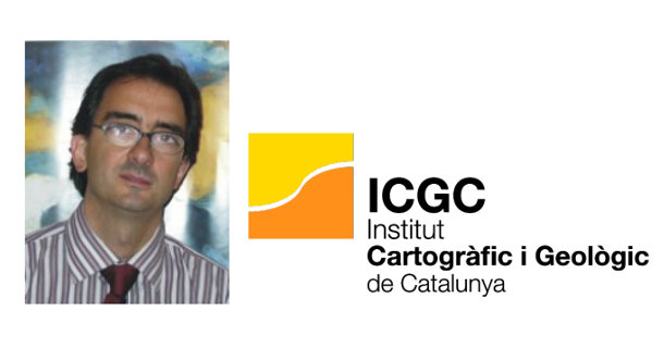
Jordi Corbera, Head of Earth Observation at ICGC, will give the talk entitled "Earth Observation: From Data to Knowledge". Tuesday, 30th of October, at 12:00 in room C4-027-3 of the EETAC.
Jordi Corbera, Head of Earth Observation at the Institut Cartogràfic i Geològic de Catalunya (ICGC), will give the talk entitled "Earth Observation: From Data to Knowledge", next Tuesday, 30th of October, at 12:00 in room C4-027-3 of the EETAC.
This conference is organized in the framework of invited talks of the Master's degree in Applications and Technologies for Unmanned Aircraft Systems (Drones).
Date: October, 30th, 12:00
Location: Building C4, Classroom 027-3, EETAC, Campus Castelldefels UPC. How to arrive
Title: Earth Observation: From Data to Knowledge
Bio: Jordi Corbera graduated in Physics in 1989 at the University of Barcelona (Spain). He obtained his PhD in 1995 as researcher for the National Program in Antarctica, with two field campaigns at the Antarctic Base, about Earth Observation, climate change and physics of glaciers. His professional activity focus in the use of spatial resources, particularly earth observation and positioning systems. From 2001 to 2007, he served as Chair of the Spanish Institute of Navigation, he cooperated in the conception of the European satellite navigation system (Galileo) and worked for various European Commission agencies as an expert evaluator on over 60 projects. From 2001 to 2008 he taught at the University Polytechnic of Catalonia as professor of radio-navigation systems. Since 2008 is leading the Catalan Earth Observation Program at the Institute Cartographic and Geological of Catalonia (ICGC) where is in charge to transform remote sensing data into operational service, leads two Industrial PhD and coordinates an official Master’s degree on Geoinformation with the University Autonomous of Barcelona.
The ICGC duties are related to the competences of geodesy and cartography and about the spatial data infrastructure of Catalonia, and also the competences of promoting and carrying out the actions related to the awareness, survey and information about the soil and subsoil, as regulated by the Catalan Law.

Comparteix: